
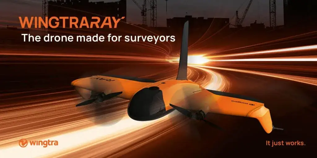
Wingtra has announced its new drone, WingtraRAY. The only drone designed specifically for surveyors, it breaks down limits that have held them back thanks to waiver-free operations over people (OOP)*, and a wider range of hot-swap sensors. Driving a complete plan-capture-process-share solution, WingtraRAY opens access to surveyors of all experience levels to tackle urban infrastructure, massive mines and time-sensitive sites without waiver delays or equipment changes. It’s also AUVSI Green and DIU Blue Cleared listed for fast-track use on sensitive US government projects.
From safe aerial survey operations to better margins, get peace of mind on every level.
When surveyors fly drones, they face risks. WingtraRAY addresses all of them. First, the parachute add-on makes it safe and legal to fly over roads and populated areas without risk. And obstacle avoidance cuts risk even more. A backup battery system also ensures consistent return to home. Beyond this, surveyors will fly with the confidence that the data they capture is repeatable and accurate so they don’t need to return to the field.
“We can talk all day about the impressive new features of WingtraRAY,” said Maximilian Boosfeld, CEO at Wingtra. “Yet we’ve learned that our survey customers care about results that solve their problems and fast return on their investment. They also need a solution that’s easy and safe for all of their pilots. With WingtraRAY, we offer these things in one cost-effective system that provides efficient analytics and GIS service deliverables. We’re happy to promote the scaling of aerial insights as more and more surveyors work confidently with a system that empowers them to do more in less time.”
WingtraRAY will be publicly available in selected countries starting July 10, 2025, with a global rollout to follow in October 2025. For more information about Wingtra and WingtraRAY, visit wingtra.com/ray.
Wingtra News.